Mercator Ocean International is part of a 19-member consortium set to implement the EU-funded FOCCUS project kicking off on 6-8 March 2024 in Berlin – at the Deutsche Forschungsgemeinschaft Wissenschaftsforum.
FOCCUS (Forecasting and Observing the Open-to-Coastal Ocean for Copernicus Users) is part of the 2023 Horizon Europe calls for Space supervised by HaDEA, the Health and Digital Executive Agency, and aims at enhancing the Copernicus Marine Service’s existing capabilities and developing innovative coastal monitoring and forecasting products. This includes changes in the use of new space and in situ coastal observations, innovations in data fusion, data processing and visualisation together with seamless numerical forecasting from regional models of the Copernicus Marine Service covering the EU regional seas, to Member States coastal forecasting systems.
The project, coordinated by Helmholtz-Zentrum Hereon GmbH, will provide new tools to better address challenges such as the protection of coastal zones, the development of sustainable blue economies and the building of coastal zones’ resilience to climate change, anthropogenic pressures, and natural hazards.
Context
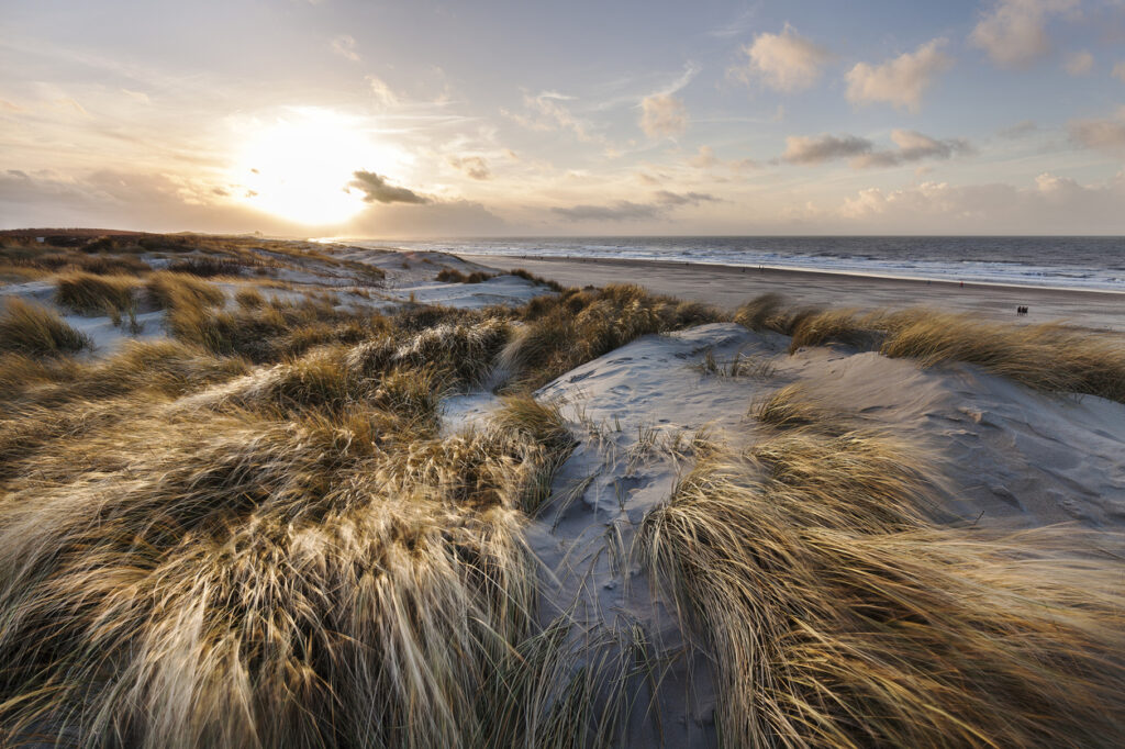
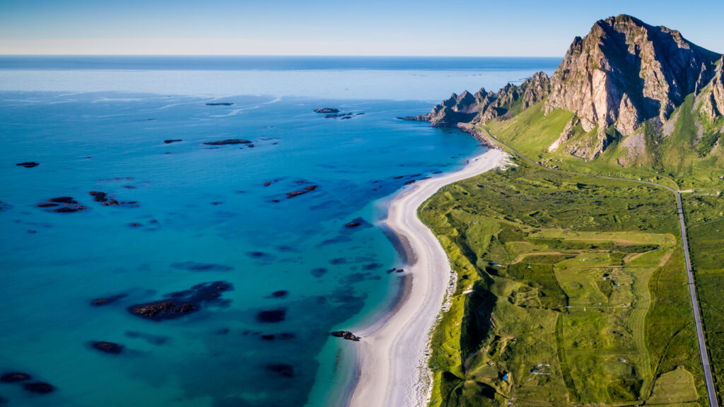
Coastal zones have large social, economic and environmental values. They are more densely populated than the hinterland and concentrate large economic assets, critical infra- structures and human activities such as tourism, fisheries, navigation. Furthermore, the coastal Ocean is home to a wealth of living marine resources and very productive ecosystems. Yet, coastal zones are exposed to various natural and anthropogenic hazards, such as pollution, eutrophication, and habitat degradation. Natural hazards can be exacerbated by climate change and induced Ocean warming, acidification, and deoxygenation, sea level rise, increase in harmful algae blooms and invasive species.
While Europe has a robust capability for Ocean monitoring, particularly through the Copernicus Marine Service, the use of Earth observation (EO) data for coastal monitoring is not fully explored. The FOCCUS project aims to enhance the Copernicus Marine Service’s coastal dimension by fostering collaboration between European Research and Innovation entities (R&I), public authorities (including coastal services) and industry stakeholders. This involves producing coastal information through the creation of new computational models utilizing data from both Member States Coastal Systems (MSCS) and the Copernicus Marine Service for improved monitoring and forecasting of coastal zones.
The initiative aligns with EU policies, including the European Green Deal, and contributes to global efforts such as the United Nations Decade of Ocean Science for Sustainable Development.

Project objectives
FOCCUS’ primary objective is to provide high-quality, trusted marine knowledge for evidence-based management, sustainable blue economy transition, and climate resilience in European coastal areas.
Moreover, the project aims to support the development of downstream applications in associated fields, such as offshore operations, storm surge forecasting, coastal engineering, habitat monitoring, aquaculture, harmful algal bloom monitoring, and adaptation and mitigation to climate change. The goal is to enhance our understanding of coastal areas and contribute to various practical uses in these domains.
This will be accomplished through collaborative design and production efforts involving Member States Coastal Services and the Copernicus Marine Service. The project will employ innovative methods, such as improved algorithms for observations processing, model coupling interfaces, data fusion, data assimilation, ensemble forecasting. FOCCUS will leverage high-resolution in situ and satellite data, as well as integrate information about river inputs into coastal areas, such as water, sediments, nutrients, and other substances.
The project’s main objectives are to:
- Improve pan-European coastal observations to meet societal and EU policy needs. FOCCUS aims to improve the retrieval of key parameters related to climate, Ocean health, ecosystems, and coastal change, to enhance the availability of crucial Ocean-related information used in practical, day-to-day applications. The project will create new coastal products by mixing in situ and remote sensing data, utilising artificial intelligence (AI) for improved observations, and assessing the status of coastal data in EU marine data services for improved Ocean predictability.
- Improve land-coast-open Ocean interfaces. FOCCUS will enhance the interfaces between land, coast, and open Ocean by developing new data-processing models utilising AI technologies.
- Enhance or establish the connection of Member States Coastal Systems to the Copernicus Marine Service. FOCCUS will strengthen Copernicus Marine’s capacity to support Member States Coastal Systems, set up processing chains, and test new coastal Ocean observations and algorithms.
- Demonstrate the usefulness of the advancement of the observing and modelling systems through the design of co-produced applications in support of Member States requirements. FOCCUS will implement a series of processes designed to deliver advanced monitoring and forecasting capabilities. These “chains” involve the seamless flow of information from the Copernicus Marine Service to Member States Coastal Systems, ensuring a continuous and efficient transfer of valuable data, demonstrating added value for coastal zone protection, sustainable blue economy development, and climate change resilience. Applications will be co-produced with stakeholders, assessed, and validated.
- Maximize the uptake and impact through communication, dissemination, and engagement. FOCCUS will conduct communication, dissemination, and engagement activities for targeted audiences through various channels. Results will be shared via a public-facing website, social media, publications, and presentations. Finally, a strategic roadmap for long-term integration into the Copernicus Marine Service will be developed.

Project partners
Mercator Ocean International (France), Helmholtz-Zentrum Hereon GMBH (Germany – Project Coordinator), Fondazione Centro Euro-Mediterraneo sui Cambiamenti Climatici (Italy), Service Hydrographique et Oceanographique de la Marine (France), Collecte Localisation Satellites (France), SOCIB – Consorcio para el Diseno, Construccion, Equipamiento y Explotacion del Sistema de observacion Costero de las Illes Balears (Spain), Consiglio Nazionale delle Ricerche (Italy), Stichting DELTARES (Netherlands), Stiftelsen Nansen Senter For Miljoog Fjernmaling (Norway), Meteorologisk Institutt (Norway), Sveriges Meteorologiska Och Hydrologiska Institut (Sweden), +Atlantic Associacao para um Laboratorio Colaborativo do Atlantico (Portugal), Institut Royal des Sciences Naturelles de Belgique (Belgium), Directia Hidrografica Maritima (Romania), EUROGOOS (Belgium), Brockmann Consult GMBH (Germany), Danmarks Meteorologiske Institut (Denmark), Institut Francais de Recherche pour l’exploitation de la Mer (France), Seascape Belgium (Belgium).
Additional information
Credit Featured Image: Sebastian Fahrni

Funded by the European Union (Grant Agreement No. 101133911). Views and opinions expressed are however those of the author(s) only and do not necessarily reflect those of the European Union or the European Health and Digital Executive Agency (HaDEA). Neither the European Union nor the granting authority can be held responsible for them.

